Where Does a Director Hide in a 360° Frame?
2020
In this image research I extract archival evidence of the process of “border-working” practiced by Israeli security cars on the google car during the capturing of the street-view images in Palestine in 2011-2012. The 360° panoramic camera ironically documents the process.
Mahmoud Keshavarz in "Design Politics" defines borders “not as lines designed by states to protect their citizens and promote a sense of security, but as mechanism that hide battle of authority of knowing over the material reconfiguration of the act of moving, crossing and transgressing." What Keshavarz calls "border-working" is a set of material urban practices which controls mobility, in this case, the mobility of the google car. And since the car is also a panoramic recording device (having the 360° camera mounted on top), it transforms such “material reconfiguration of the act of moving” into a material reconfiguration of the act of imaging. What starts as an act of regulation of images, ends up being images which document the regulation of their own production.
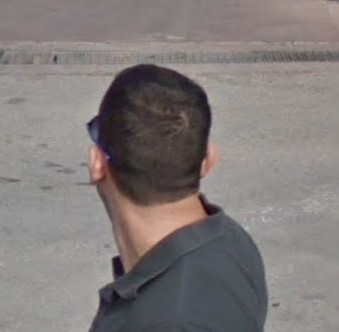
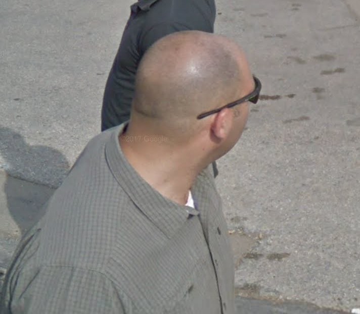
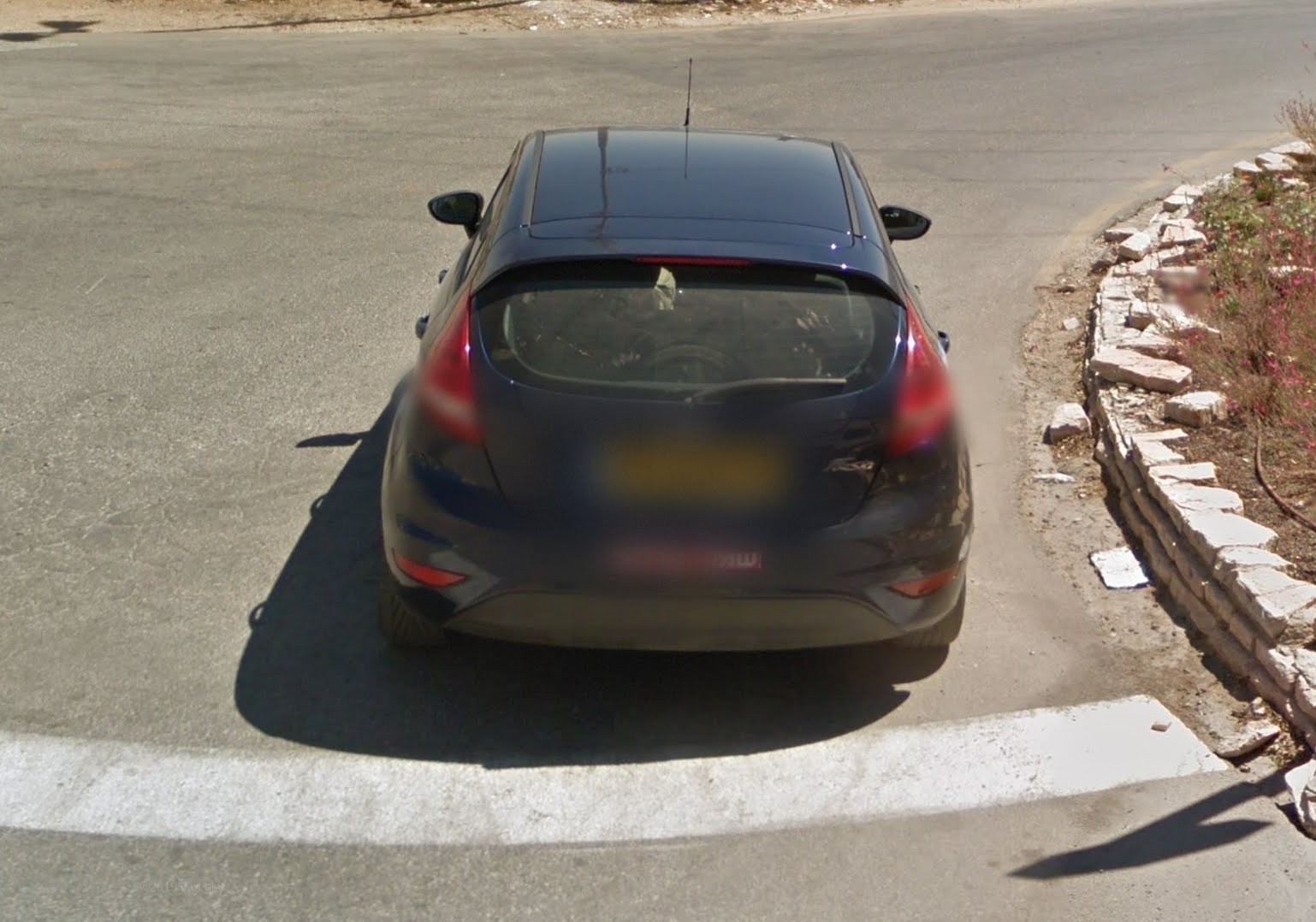
Qalansuwa, Tira, Jaljulia and Kafr Qasem are four Palestinian towns located outside the West Bank, on the Israeli side of the green Line—1949 Armistice border. Their street-view images are a direct articulation of the border working documented by the 360° camera. The street-view in the four Palestinian towns captured on July, 2012 documents a green Mazda (Israeli yellow license) that is constantly central to panoramic frame, apparently leading and giving movement instructions (obstructions) to the google car. In this instance of interaction the google car becomes both the official green/red/blue/yellow/white car with a camera mounted on top and the green Mazda that gives movement cues to the former one, as if the panoramic frame is a visual monologue between the two cars. Going in line with Mahmoud Keshavarz in understanding borders not as localities but as a set of delocalised material practices—which he terms “border-working”—that produce spaces of immobility; one would consider the green Mazda as a part of the materialisation of the Israeli-Palestinian border and at the same time the border/frame of what is rendered visible as street-view and what remains viewless.
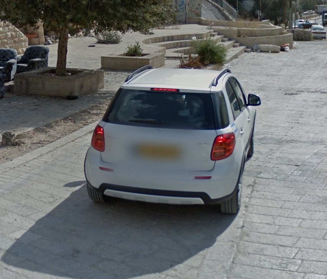
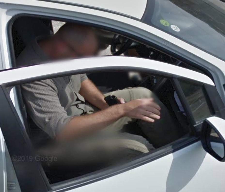
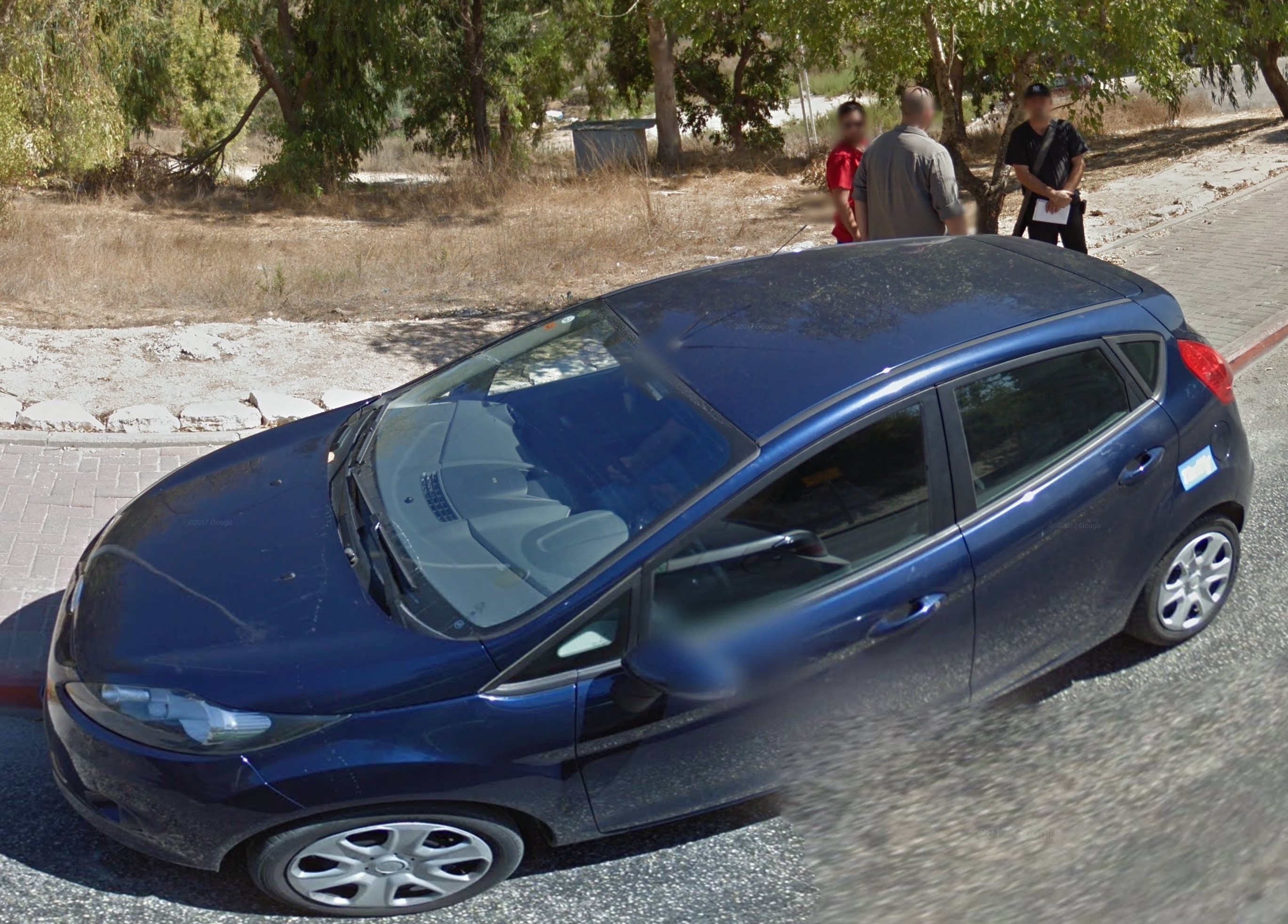
The mapping of most of the West Bank—which was achieved over the time period 2011-2017—is securitised/authorised through a collection of different cars: from a VIP SECURITY (Palestinian white license) car in Ramallah, Al Bireh and Bethlehem (which was a program authorised by the Palestinian Authority); to private Israeli licensed cars in Jerusalem and the rest of the West Bank. On the contrary to the carto-graphing of the green Mazda which shows mostly its back side since it takes the leading role; the securitised carto-graphing in the rest of the West Bank shows the front side of the security cars which follow the google car throughout its journey.
This work was performed as an online lecture performance after a residency in Off site project, November 2020. You can find the full essay here.

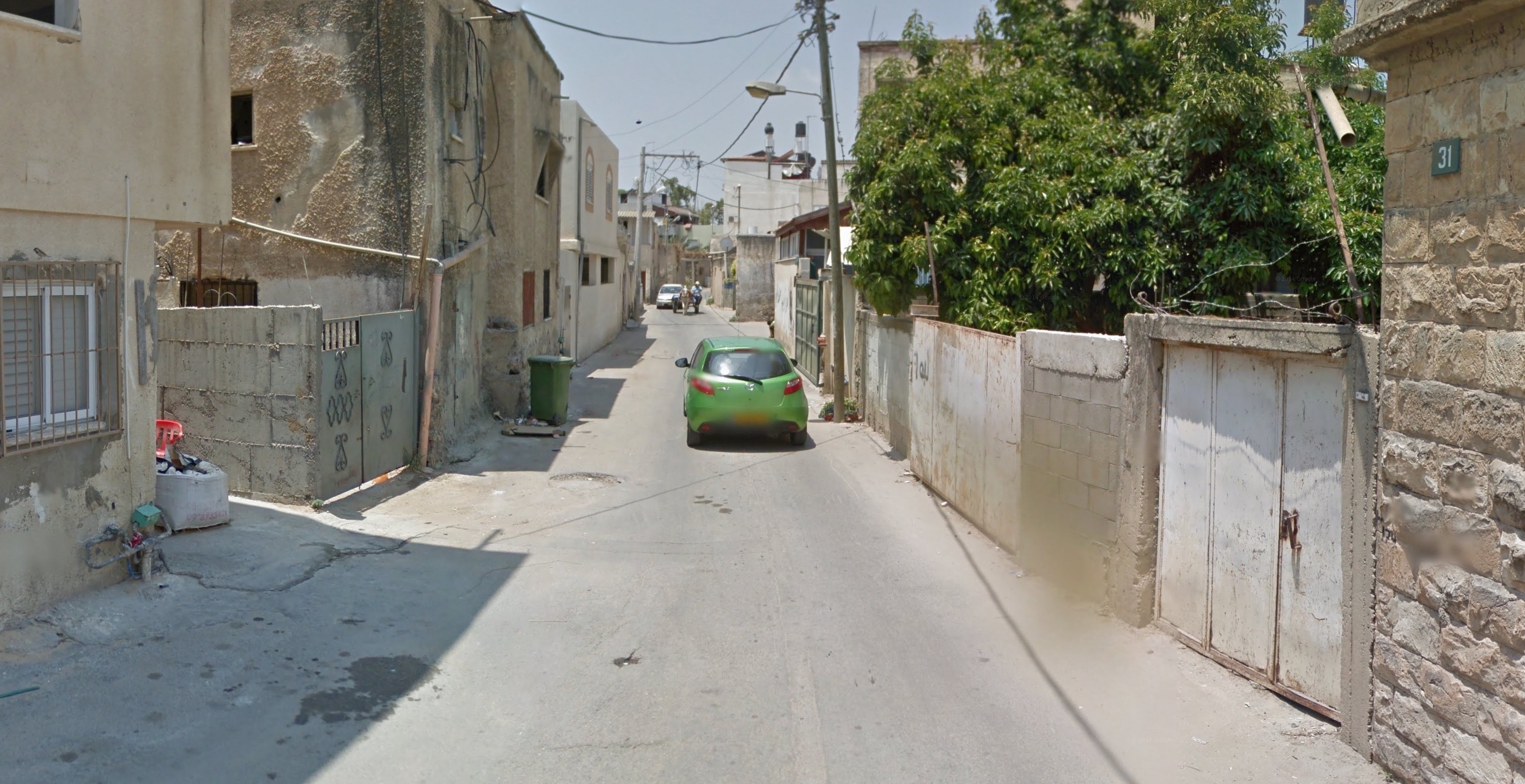
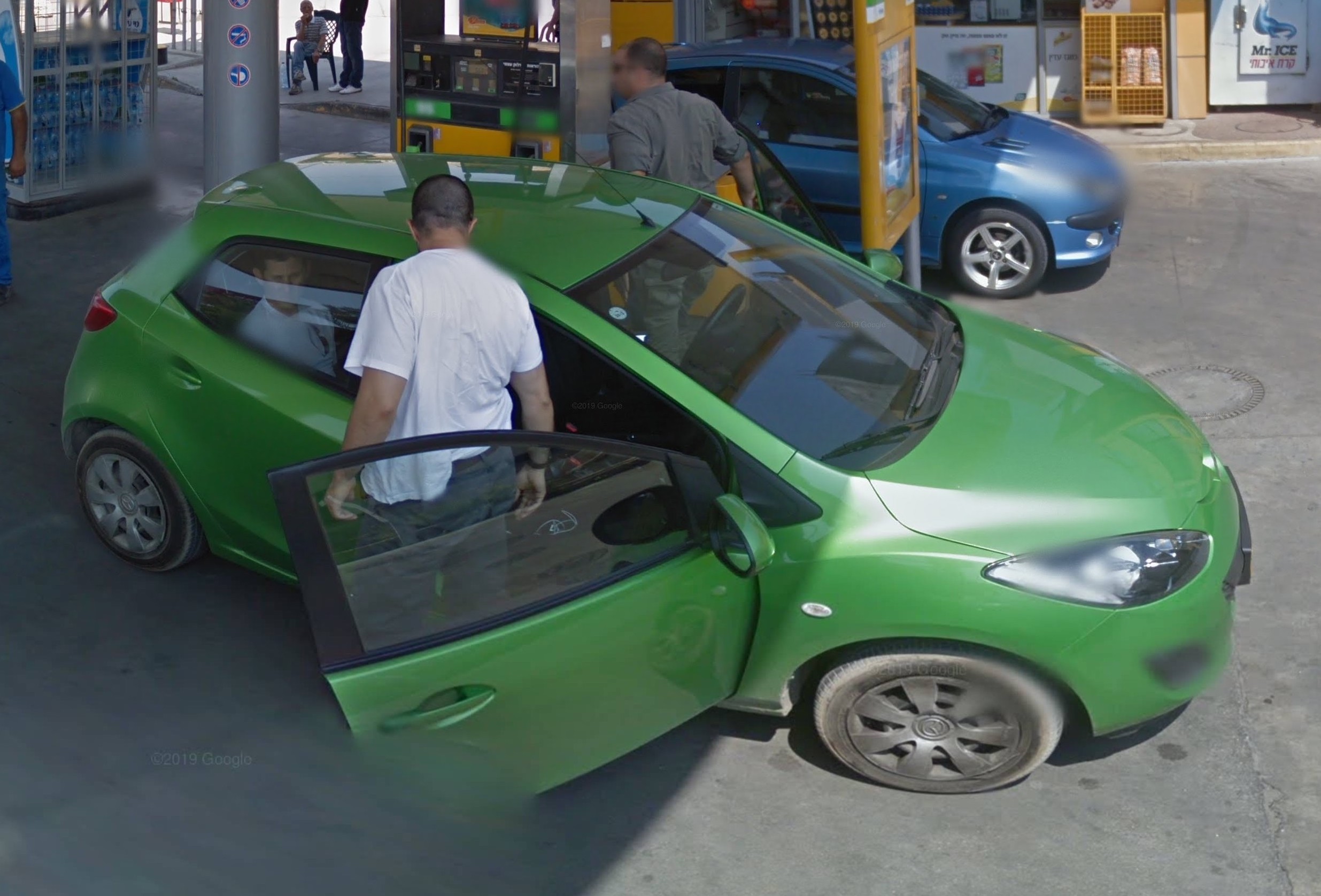
July 2012/Qalansuwa, Tira, Jaljulia and Kafr Qasem/Securitised by an Israeli green Mazda
A map tracing the route of the green Mazda (in red) in Qalansuwa, Tira, Jaljulia and Kafr Qasem

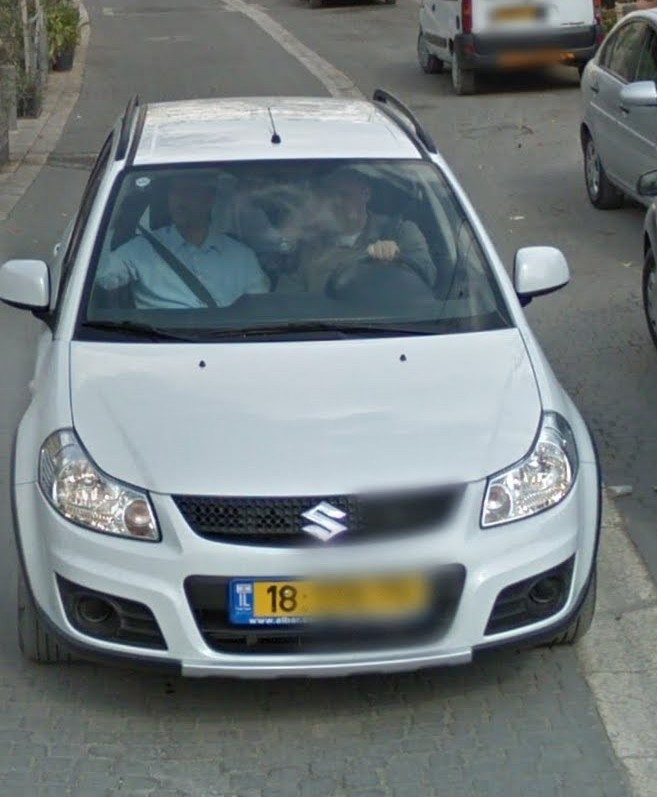
November 2011/East Jerusalem/Securitised by an Israeli white Suzuki SX4


October 2012/Israeli road network in the West Bank (Ariel and Southwards)/Securitised by an Israeli white Suzuki Splash
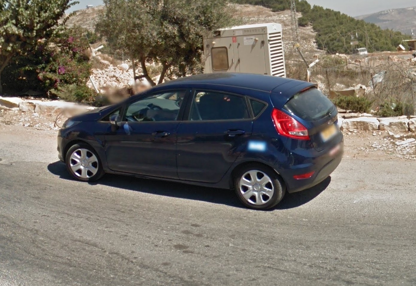
September 2012/Israeli road network in the West Bank (road 557-57-55-60 northern to Ariel)/Securitised by an Israeli dark blue Ford